Health & Fitness
Route 1 Revitalization: A Greener Shade of Development
Revitalization activities along Richmond Highway are greener than the old model of suburban development

“Each day, several thousand more acres of our countryside are eaten by the bulldozers, covered by pavement, dotted with suburbanites who have killed the thing they thought they came to find.”
-Jane Jacobs, The Death of Life of Great American Cities, 1961
In the course of my work at SFDC hardly a day goes by that I don’t hear some sort of objection to revitalization activities in the Richmond Highway corridor on the grounds that development degrades the natural environment. This point of view seems to be backed by American Rivers’ selection of the Potomac as the nation’s most endangered river due in large part to “runoff from streets and parking lots.”
Find out what's happening in Mount Vernonwith free, real-time updates from Patch.
When a major news outlet refers to our river as the “Poop-filled Potomac” the arguments against development grown louder and seem to gain more credence. To those who would decry all types of urban development, I would like to ask you to consider the enormous variations in terms of pollution and stormwater runoff between alternative patterns of development.
Let’s start with the 1960s vintage of automobile-oriented development described by Jane Jacobs, which represents the popular ideal of commercial development along Richmond Highway. As exemplified by Engleside Plaza and the old Beacon Mall, this model of development consisted of little more than sprawling one-story buildings surrounded by vast fields of pavement for parking and vehicular access. This development type exemplified the worst sort of commercial site and building
design in environmental terms. Since nearly all patrons of this type of retail center had to drive to and from it, air pollution was maximized. The sites were covered nearly 100 percent in pavement and lacked storm drains, meaning that all stormwater ran off the buildings and parking lot and directly into streams.
Find out what's happening in Mount Vernonwith free, real-time updates from Patch.
This model of commercial development persisted for much of the past 50 years, turning Richmond Highway into a nearly continuous strip of parking lots and low-rise retail and office buildings stretching nearly eight miles from the Beltway down to Woodlawn. While recent projects like Federal Realty’s renovation of Mount Vernon Plaza have resulted in slight improvements to walkability, modest amounts of green space, and modern stormwater facilities, the underlying model of one-story buildings arranged around large parking lots has not changed much at all since 1961.
If Mount Vernon Plaza was a small step away from the old model of environmentally irresponsible development, the current wave of revitalization activity in the Richmond Highway represents a quantum leap in a new and better direction. The new model encompasses a range of planning, site, and building design attributes that all combine to be exponentially more sensitive to the natural environment than the old model. These features include: access to transit, pedestrian connections, energy efficient architecture, retention/creation of green space, and effective management of stormwater quality and quantity.
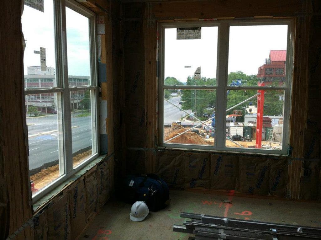
This new model is exemplified by the Beacon of Groveton development. Set to open this summer, the Beacon is a 290-unit, six-story apartment building located directly on Route 1, with ground level retail/dining, sidewalk connections to the surrounding residential neighborhood and the adjacent Beacon Center, extensive landscaping, an interior courtyard, energy efficient units, and on-site stormwater facilities.
The Beacon of Groveton is setting the pattern for many similar developments that are currently proposed in the Richmond Highway corridor. As of this writing there are eight more multi-story developments that have been proposed in the corridor, representing about 2,700 additional housing units. Current plans for these developments all follow the lead of Beacon of Groveton, as seven of them are proposed to be mixed-use projects with on-site commercial space, and six of them are located within a 10-minute walk from the Huntington Metro station.
We at SFDC realize that it can be difficult for many people to understand that more development can actually be beneficial to air and water quality. It is for this reason that our next community event will bring a panel of experts on environmentally sensitive planning and design to discuss this topic and answer questions from the public. This event, called “New Trends in Green Development,” will be held on Saturday morning June 9 from 9:00-11:30am at Carl Sandburg Middle School. Event admission is $10, and a light breakfast will be served.
I encourage anyone with an interest in seeing greener development in the Richmond Highway corridor to attend.

