Health & Fitness
Richmond Highway Development & Water Pollution, Part One: The Problem and Its Origins
With new development coming to Richmond Highway, knowledge is needed to understand how past development has affected the natural assets of neighborhoods especially as it relates to water pollution.
When water pollution damaging the Potomac River initially became a concern during the 1950’s and 60’s, efforts were focused on addressing point source polluters such as industrial sites and waste water treatment facilities throughout the basin. These efforts required legislation and subsequent laws that compelled businesses and municipalities to address the need to eliminate the pollutants originating from the facilities under their control. These efforts were effective to the degree that scientific data affirms a great deal of success in resolving the point source pollution problem.
One would hope that the health of the Potomac River ecosystem is on the mend, however, scientific studies show a more pervasive and sinister threat to the river that has proven to be a complex and challenging form of pollution referred to as non-point source pollution.
This form of pollution is more widespread and is unfortunately diffused throughout the entire watershed. It is originating from the human built infrastructure that is a component of our agricultural, suburban and urban areas. In essence, humans are having a negative impact by increasing the one way flow of energy and the cycling of matter through the downward movement of matter by gravity to the Potomac during the water cycle.
Four hundred years ago when Europeans began to establish settlements within the region, they encountered an estuary teeming with abundant life. There existed a periphery of swamps and marshes and adjacent lands covered by a temperate climax forest ecosystem. They also encountered native populations of people that lived in small communities whose survival was based on the harvesting of material resources from the land, marshes and water and to some degree a form of subsistence farming where a small area of forest was burned and slashed away to grow crops for a few years until the soil nutrients played out and then abandoning the site leaving it to undergo secondary succession and to once again become a new forest. The biodiversity of habitats, species and genetic inheritance over thousands of years of co-evolution enabling organism interactions in this system had created a functioning and healthy ecosystem that exhibited a dynamic stability.
The function, health and stability of that system began a slow decline shortly after the arrival of the European cultures and the introduction of human slaves from the African sub-continent. Clearing of the surrounding forest ecosystem, first to build shelter and later to create agricultural land to grow food, raise animals and to provide a cash crop (tobacco) to jump start a colonial economy was the first step in disrupting two major abiotic forces (gravity and running water) that were no longer moderated by the surrounding forest cover. The forests had served as the regulator of the hydrologic cycle minimizing the effect of moving water and diminishing the flow of nutrients and sediments out of the ecosystem. Together these forces drive erosion and its impact on our history is evidenced by the existence of numerous port towns on the river and tributaries that once functioned as thriving commerce centered seaports able to accommodate deep draft ocean going vessels. By the end of the Eighteenth century many had shut down as seaports due to the silting in of their once deep harbors and channels.
By the middle of the nineteenth century, changes in transport technologies (railroads, roadways) substituted for the old technology. The advent of land transport technologies initiated another change in the living patterns previously dictated by the need for close proximity to waterways for the purpose of travel and trade. Towns and cities were able to expand and grow beyond the limitations of being linked directly to the water transport networks. Late Nineteenth and Twentieth century development patterns have been reflective of this change leading to a reliance on land transport innovations culminating with a personal transport (automobile, truck) dependant society.
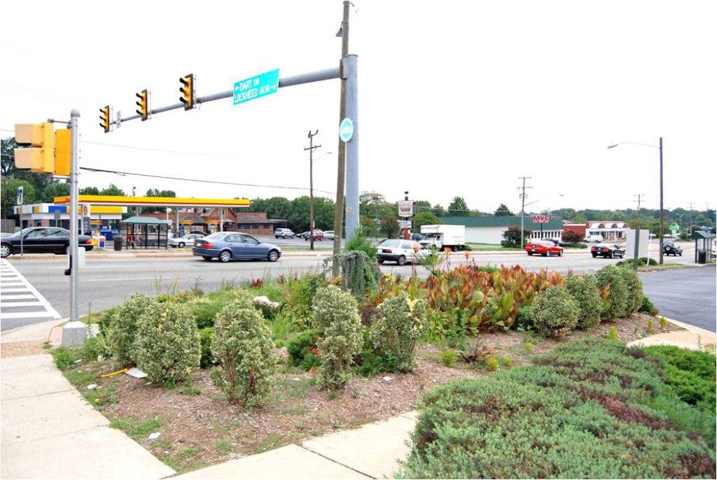
The infrastructure of roads, storm sewers, sidewalks, housing, shopping centers, schools, businesses, and parking lots is the template upon which our present society is built and operates. Much of this infrastructure is a required component of any site development proposal by a developer and for much of the Twentieth century there were few regulations of this design beyond insuring that the abiotic factors of gravity and running water did not flood the streets and neighborhoods of our cities, communities and rural areas. The infrastructure had to be designed in such a manner as to carry away the inevitable storm water that would accumulate due to an increased imperviousness of the landscape by the introduction of more asphalt and concrete transport networks and roofing structures on homes, businesses and public buildings. The developer had only to create a storm water sewer system that would capture the storm water runoff and carry it to the nearest stream. Here resides many of the water quality issues facing our majestic but environmentally stressed river. Older communities like many along Richmond Highway primarily have the storm water sewer system directly linked to local streams.
Next week I will examine challenges specific to Richmond Highway and how Fairfax County has watershed plans to remediate some of those challenges.

